Cloud alignment is aligning sets of 3D data point to reconstruct real-world geometry from iterative 3D. Commonly, each data point contains a position and sometimes a color, and the sets of 3D data points are referred to as a “point cloud”.
For the purpose of three-dimensional scanning, a point cloud is a set of x, y, z coordinate points in three- dimensional space that represents the external surface of an object. Our 3D scanner uses a depth sensor to capture data as point clouds by emitting an array of infrared beams which intersect and reflect off encountered surfaces at varying points; these points are then assigned the appropriate width, height, and depth coordinates at the point of contact.
Given the numerous infrared beams emitted by the depth sensor, a cohesive topological representation of the space can be represented by these points, forming a point cloud. A surface represented by a point cloud can be colored by assigning each point an RGB value captured by the color camera; each point is represented by a six-dimensional vector < x, y, z, r, g, b >.
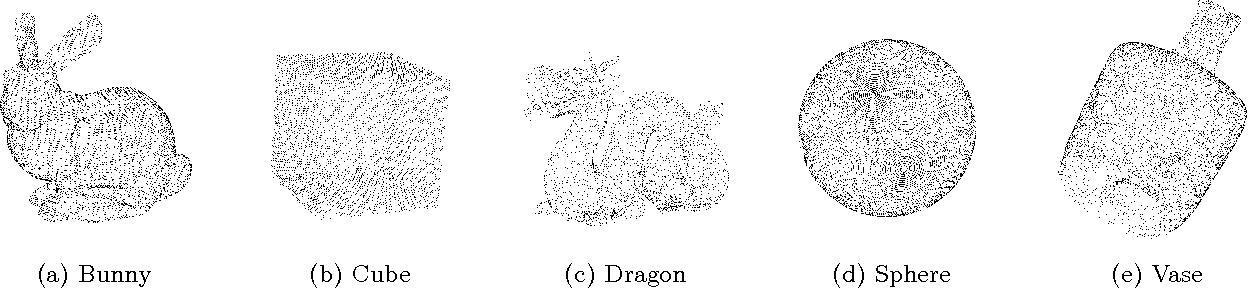
For example, a digital point cloud representation would look like this: